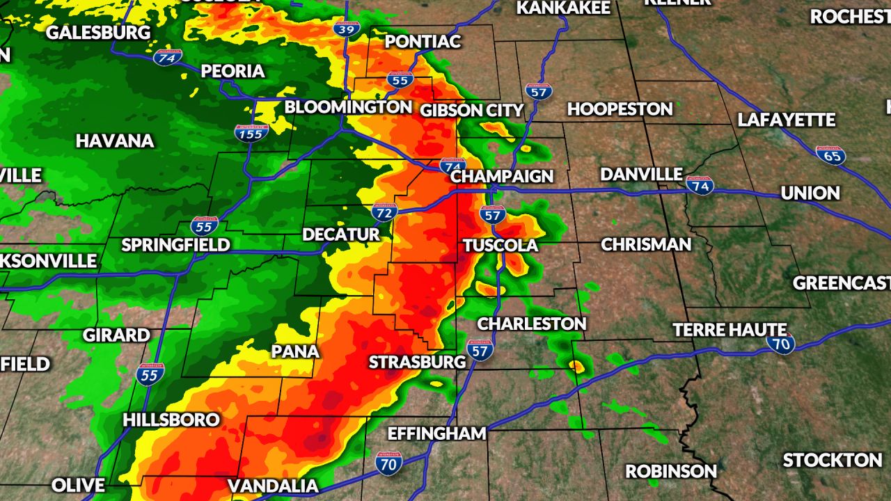
Thursday’s storms classified as a “Derecho”
CENTRAL ILLINOIS (WCIA) – The damaging line of storms that roared through Central Illinois on Thursday was classified as a “Derecho”, according to the Storm Prediction Center.
The National Weather Service says that a derecho (pronounced “deh-REY-cho”) is a widespread, long-lived wind storm that is associated with a band of rapidly moving showers or thunderstorms.
Although a derecho can produce destruction similar to the strength of tornadoes, the damage typically is directed in one direction along a relatively straight swath. Still though, there can be embedded tornadoes in Derechos, much like Central Illinois experienced.
By definition, a derecho is when storms produce a wind damage swath of more than 240 miles and includes wind gusts of 58 mph or greater along most of it’s length. It also should have several well-separated wind gusts over 75mph. Often, derechos can have wind gusts of 80 to 100 mph or more.
Derechos form from squalls of thunderstorms and usually are in conjunction with bow echoes. While squall lines and bow echoes are more common, they generally do not last more than a few hours. A derecho travels for hours and leaves devastation in it’s path.
The National Weather Service in Davenport, Iowa reported wind gusts of 100 to 120 mph in parts of western Illinois. They also confirmed one tornado.
The National Weather Service in Lincoln continues to survey areas of damage to determine not only wind speeds but also how many tornadoes occurred. It is believed there may have been several tornadoes in the area, though no official ratings were available as of 1:30p Friday.
Illinois averages one derecho per year. The last derecho in the region was in July of 2022 which swept through the northern part of the state.
Source: wcia.com


