Smoke outbreak from Canada fires easing
Listen 5 min Comment on this story Comment Gift Article Share
The latest record-breaking surge of smoke spawned by a historic wildfire season in Canada is into its final act. Smoky conditions were easing in many places, although the haze could stick around in spots. Wp Get the full experience. Choose your plan ArrowRight Although Code Red hourly conditions remained Friday morning — stretching from Virginia to New York and Connecticut; covering southeast Canada; and then extending west across parts of the Great Lakes — the situation is much improved from recent days.
Air quality alerts for smoke were in effect for parts of 18 states and the District of Columbia, with statewide alerts in a number of areas, including Vermont, New York, Pennsylvania and West Virginia.
This follows a Thursday that recorded the third straight day of widespread Code Red and Purple conditions across the northeastern quadrant of the United States, according to the Environmental Protection Agency. Code Red is the beginning of unhealthy air for the general public, while Code Purple or Maroon are unhealthy to hazardous.
Conditions easing, for now
Code Red is in the forecast Friday for much of western New York, parts of Connecticut and parts of northern Pennsylvania. Code Orange encompasses a wide area around that, running from Lake Michigan and surrounding areas in the West to Delaware and Massachusetts in the East.
Friday morning satellite views showed a diminished but still sizable zone of smoke.
Air quality is improving in the lower Mid-Atlantic, as well as in the region’s coastal areas and areas that had patches of bad air around the lower Great Lakes, according to monitoring station data compiled by airnow.gov. Air quality had worsened in places including Buffalo and Toronto on Thursday morning as the area of highest concentration compressed on the region.
Advertisement
Hazy skies could persist into the weekend for parts of the East Coast, especially from the Carolinas to western New England and New York. Thicker smoke and poor air quality should stay comparatively limited but may not disappear. Some zones of newer smoke also may impinge on parts of the northern Plains to western Great Lakes.
Independence Day weekend may see new incursions
Given that there is so much smoke aloft, a milky haze is a good bet at certain times, even when surface air quality improves. Also, keep an eye out for smoky conditions to return as we get toward Sunday and Monday or beyond.
Places least likely to see an extended break from the smoke are those nearer the border with Canada and northward. New patches of smoke were affecting air quality in North Dakota and Michigan’s Upper Peninsula on Friday morning. Areas in Quebec also were suffering very poor air quality, especially near the massive uncontrolled blazes east of James Bay.
Advertisement
Smoke is quite hard to forecast with accuracy outside a day or two, but we can note potential. Smoke will continue to be plentiful — it’s a matter of where the thick haze goes.
An area of low pressure over the Rockies is expected to travel eastward through Sunday, stopping near or south of Lake Michigan by Sunday night. From there, it seems likely to press farther east. The track will be key. For now, the low appears to want to track in the direction of Ohio by late Monday.
This week’s low, which helped drag smoke southward, tracked roughly from near Chicago to West Virginia and then off the Mid-Atlantic coast. The smoke episode in early June featured a low that intensified and stalled near the Northeast coast and ultimately backed westward as it stalled.
In the June cases, and in the forecast early next week, low pressure was forced to travel underneath a powerful heat dome of high pressure in Canada. Underneath the heat dome, unusually hot and dry conditions are ripe for plentiful smoke production. Under the right circumstances, the smoke will aim south again.
Smoke outbreak records
While this smoke outbreak was not quite as high-end as the June 7 and 8 event in the United States, it would have been a wildly remarkable stretch in any other year. Even this year, it’s hard to fully comprehend the wide scope and impacts.
Code Red first moved south of the Canadian border June 25 in New York and New England, shifting westward toward the upper Great Lakes into the following day. From Tuesday through Thursday, the event peaked across a 20-plus-state region.
Advertisement
The area of daily averages meeting Code Purple shrank significantly Thursday from Wednesday, with only a few spots reaching the mark, according to EPA data.
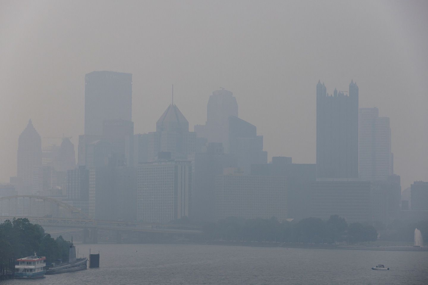
Pittsburgh: A reading Thursday of 212 AQI is the highest on record for smoke in the area, surpassing 211 the day before. Before this bout, the worst air there was observed Nov. 11, 2011, with an AQI of 177.
Canton, Ohio: The city’s 208 AQI on Thursday is the second-worst there for smoke, behind the value recorded Wednesday. They both bested the old record of 172 AQI, set in March 2006.
Beyond those Code Purples, numerous high Code Reds were recorded for the day, in cities including Green Bay, Detroit, Richmond, Baltimore, Philadelphia, Syracuse and Ottawa in Canada.
Code Purple reached its maximum extent in the outbreak Wednesday, when such conditions were observed in parts of seven states from the Midwest to the Appalachians. High marks included an AQI of 265 in Canton and a 229 AQI in Tecumseh, Mich.
Code Purple was recorded Tuesday in parts of Wisconsin and Illinois, where Milwaukee was among those setting smoke records with a daily AQI of 246.
Numerous other records, including for extent and persistence, also occurred across the region of impact. In parts of Wisconsin and Michigan, for example, Code Red or Purple was observed for as long as four days straight.
Gift this article Gift Article
Source: The Washington Post


