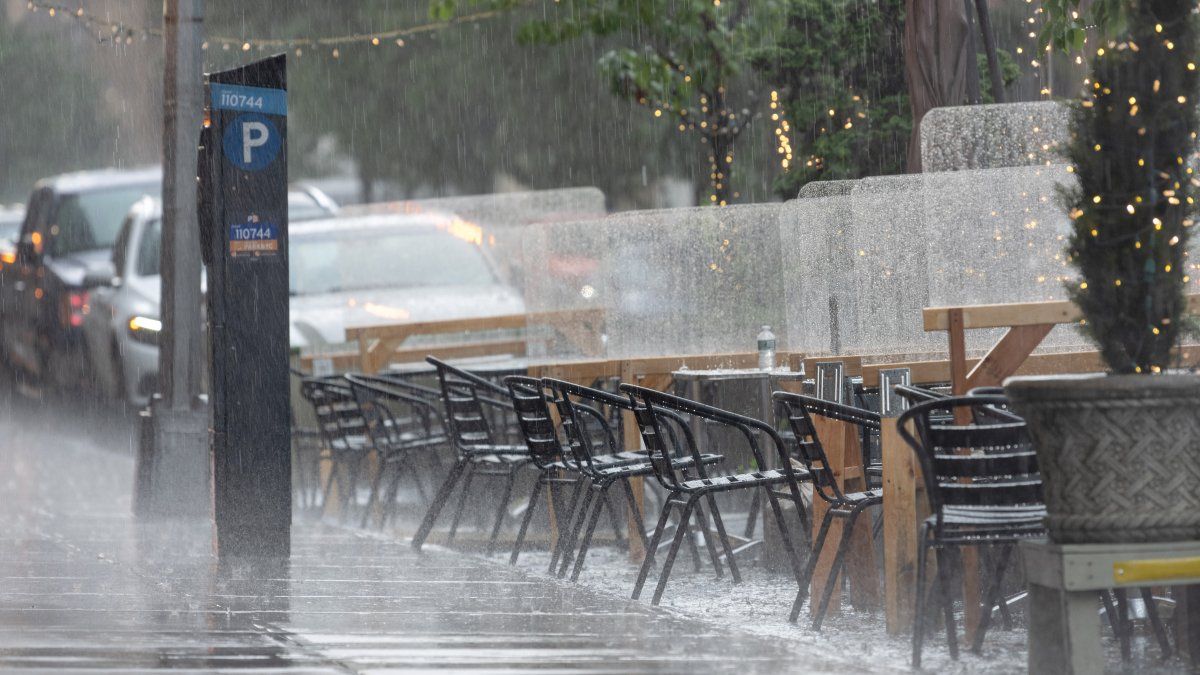
NYC forecast: Significant flooding potential Sunday for New Jersey, New York
A conveyor belt of thunderstorms has already made a mess of Sunday, dumping up to half a foot of rain to some in New York by the middle of the afternoon. And the storms aren't nearly over yet.
The storms set up west of the city from New Jersey into the Hudson Valley. Hours of rainfall since lunchtime have brought varying levels of rain to some communities.
In the Hudson Valley, rain has slammed Orange, Putnam and Rockland counties with an estimated 7 inches of rain far – by far the hardest hit area so far – and the heavy rain continues in that area.
7+ Inches of rain since noon, as estimated by doppler radar in eastern Orange, Western Putnam, northern Rockland Counties. Stay off roads. Flash Flooding is ongoing. #StormTeam4NY pic.twitter.com/3YDF9BR5gs — Storm Team 4 NY (@StormTeam4NY) July 9, 2023
Get Tri-state area news and weather forecasts to your inbox. Sign up for NBC New York newsletters.
Exactly where the heaviest rain bullseye sets up is difficult to predict, but right now it is likely to be just north and west of NYC. That's where a drenching 3 inches or more of rain is possible and could cause big trouble on the roads.
So when do the storms strike? Expect to see showers and storms kick off around noon and last much of the day, until at least around dinnertime. Heavy rain will be in and out Sunday and into Monday morning as the slow-moving front slides through the region.
Who will be most impacted by the end of weekend mess? Expect the afternoon system to be focused in northwest New Jersey, the Catskills/Poconos and the Mid-Hudson Valley. The flooding threat increases in and around NYC the rest of Sunday night and for the morning commute Monday.
Ahead of the approaching system, severe thunderstorm watches and flash flood warnings had already been triggered for a handful of counties expected to be in the path of the storms.
Check the latest weather alerts for your neighborhood here.
Flash flooding will be one of the day's primary weather threats. Heavy downpours, which could bring 1-2 inches of rainfall per hour, will likely cause problems for drivers. Remember: "turn around don't drown."
Besides the flood threat, there's a risk of damaging winds from severe storms Sunday afternoon and evening. Isolated storms could produce wind gusts to 60 mph in the afternoon.
The tri-state won't be done with the rain when it lets up Sunday night.
Overnight into Monday morning another wave of heavy rain moves through, this time targeting NYC, Long Island, and Fairfield County.
Source: NBC New York


