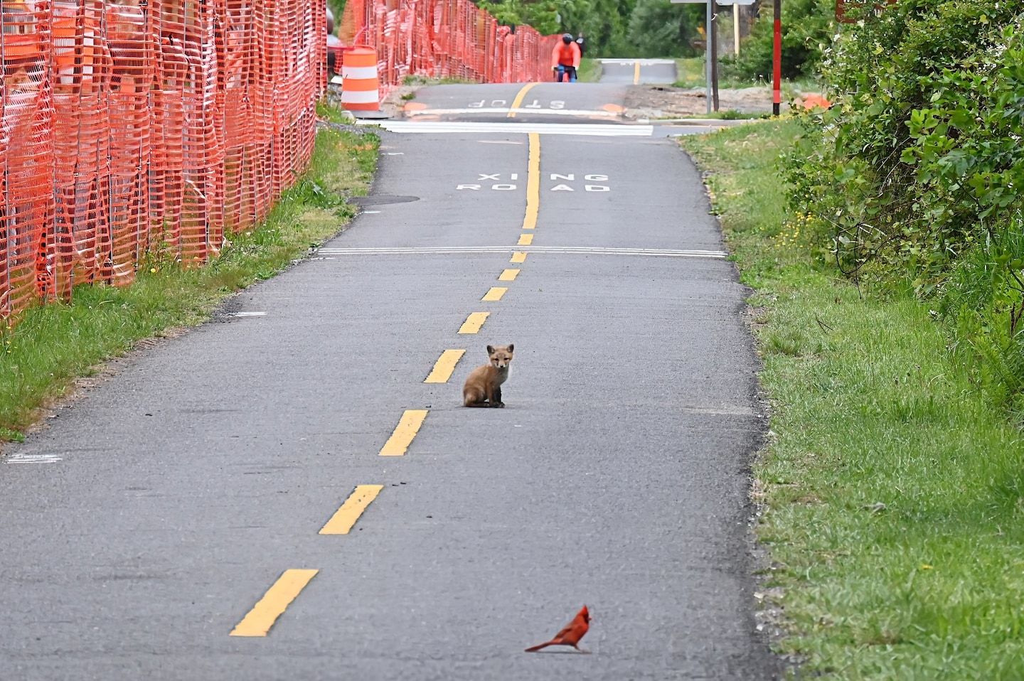
PM Update: Cool and breezy with occasional showers through Tuesday
Listen 2 min Comment on this story Comment Gift Article Share
Radar courtesy MyRadar | © OpenStreetMap contributors Morning sun gave way to increased cloudiness through the midday, and eventually some showers this afternoon as well. Most of the rain has been north of the city, but the clouds helped cap temperatures in the mid-50s to around 60 for highs. Adding in a gusty wind, it was certainly not feeling much like May out there today. More of the same through Tuesday.
Through tonight: We continue to see a lot of clouds this evening and overnight. Probably more breaks than during the afternoon, though. A few showers are possible. Lows are in the 40s, ranging from about 43 to 48. Winds blow from the west around 10 to 15 mph, with gusts around 25 to 30 mph.
View the current weather at The Washington Post.
Tomorrow (Tuesday): We’re still under the influence of a huge cold pocket of air stuck over the Northeast. Morning rays tend to be fleeting as clouds build during the heating of the day. I should say “heating,” as it will be hardly warm. Highs again only reach the mid-50s to near 60, and showers could be more numerous than today. Winds stay gusty from the west, blowing around 15 to 20 mph, with gusts to 35 mph.
See Jason Samenow’s forecast through the weekend. And if you haven’t already, join us on Facebook and follow us on Twitter and Instagram. For related traffic news, check out Gridlock.
Advertisement
Pollen update: The most recent pollen report was washed out by rain.
April showers: With 3.55 inches of rain, Washington finished April with above-average precipitation. It was the first month able to accomplish that this year. While helpful in battling moderate drought across the region, the city still runs close to 3.5 inches below normal for the year.
Want our 5 a.m. forecast delivered to your email inbox? Subscribe here.
GiftOutline Gift Article
Source: The Washington Post


