Possible severe storms expected Thursday
NASHVILLE, Tenn. (WKRN) — Another busy weather day is expected in Middle Tennessee and Southern Kentucky Thursday as two rounds of storms are expected. Severe weather is possible in our region, especially the second round this afternoon, with all threats at play.
Severe outlook
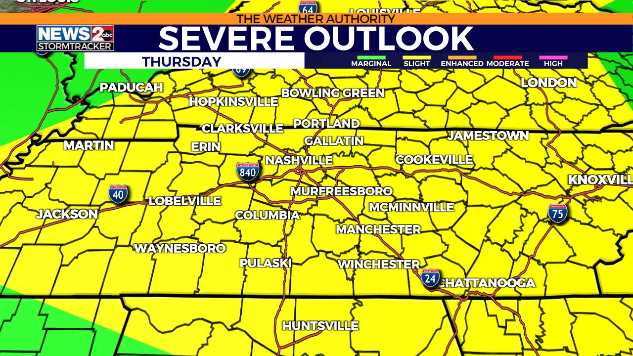
This morning, the Storm Prediction Center upgraded most of our region to a level 2/5 Slight Risk. This means several severe thunderstorms are possible. The primary timeframe for severe storms will be this afternoon, but a few strong or severe storms are possible this morning.
The primary storm threat is very heavy rainfall. However, severe storms will contain wind gusts & hail. In this situation, storms this afternoon could have rotation with them, therefore we’ve went to a low risk for a tornado.
Flood Watch
As mentioned, the heavy rain is the primary concern. From Tuesday & Wednesday, there was a swath of 3-6 inches of rain estimated by the radar from parts of Rutherford County back toward Northwest Middle Tennessee. Farther toward Henry County into SW Kentucky, rain amounts estimated over 10 inches, with a likely state record in Kentucky broken for 24 hour rainfall in Graves County (Mayfield).
A Flood Watch is in effect for many counties in Middle Tennessee & Southern Kentucky, mainly north of I-40. This will expire at 12 PM, but could be extended.
Read more about the weather alerts for your county from the National Weather Service here.
Future Tracker
Round 1
This first wave of rain & storms are happening now and will continue through mid-morning. These will be mostly east of I-65. Lightning & heavy rain will be the primary threat, but a brief severe storm is possible (for gusty winds and hail).
Round 2
The second round of storms looks to be more active. These storms have originated in the Central Plains and are heading east. By 11 AM, storms could be increasing near the Mississippi River and approaching the TN River. These race across the state in the afternoon, increasing the severe risk for wind gusts, hail, and an isolated tornado.
Source: WKRN News 2


